At Çukurova University's experimental field (Adana, Türkiye), wheat was cultivated under controlled nitrogen and irrigation variations. Drones collected spectral data to analyze crop health and sustainability. Despite environmental and infrastructural challenges, the field design and manual interventions ensured high-quality data for the project.
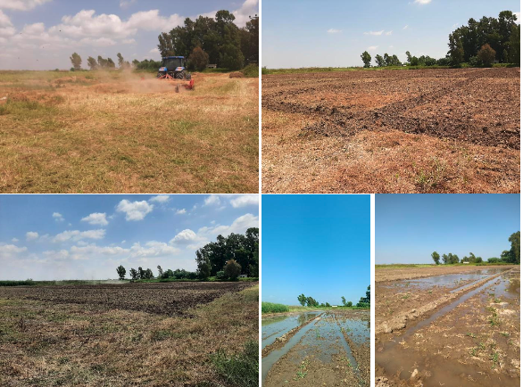
Preparations were completed in the field for experiment design (July 12, 2024).
At this stage, the land was prepared and the aim was to create ideal soil conditions for setting up the experiments. As part of the soil preparation process we irrigated the soil. For this reason, as decided during previous meetings with Project team, soil Nitrogen (N) control was found to be necessary.
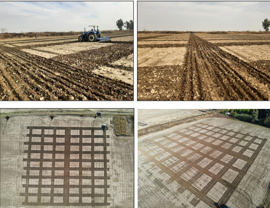
Block plans were applied in the field and target crop (wheat) was sow (12 December 2024)
A 90×90 m field was used for the experiment, with 6×10 m plots, 3 m spacing, and a 3 m buffer. Wheat was sown on 12 December 2024. To capture seasonal differences, early and late crop block plans (27 plots each) were applied. Triple super phosphate was used, with nitrogen at 0, 10, and 20 g/m², and irrigation at 0, 50, and 100%.
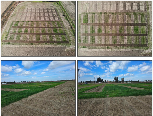
First Aerial Drone Images Acquired (17 January 2025)
First aerial drone images were acquired on January 17, 2025. Various shades of green as seen in images below indicate different crop performance due to nitrogen and irrigation variables. Plots in the back were still crop free at this date. Aerial (17 January) and ground-level (25 February) views of the experimental plots are shown below. The bottom images taken on February 25 shows growth of crops.
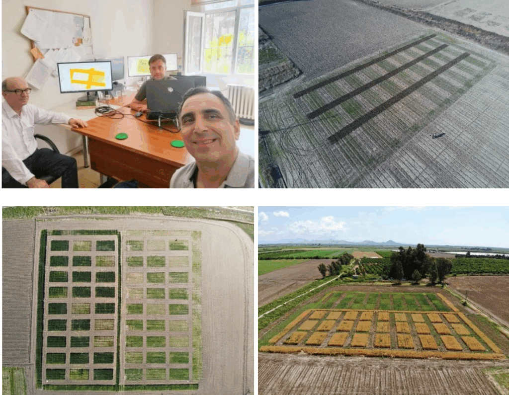
Face to Face Meeting of Cukurova University Project Team (16 May 2025)
Pre-processing and next acquisition dates for drone imagery were discussed and decided. Sample preprocessed mosaic image can be seen at the bottom.
Drone Imagery, 54 plots (27 early, 27 late) were monitored through five drone flights, producing 2,700 multispectral images that reflect variations in nutrients, water, and temperature. Despite initial preprocessing, further analysis is needed. Challenges included adverse weather, drought, weeds, and limited irrigation. Example outputs include raw mosaics, corrected spectral images, thermal data, and a digital elevation model (DEM).